The Salkantay Pass (Abra Salkantay) sits at 4,630 m (15,190 ft) and is the highest point of the Salkantay Trek to Machu Picchu. You cross it on day 2, after a climb of about 730 m (2,400 ft) from the camps at Soraypampa.
We are a local operator in Cusco and our groups cross this pass every week. This guide gives you our own route map and altitude profile, built from satellite elevation data, plus what the climb, the weather and the altitude are really like.
Salkantay Pass at a glance
| Elevation | 4,630 m (15,190 ft) on most maps; the sign at the top reads 4,600 m |
|---|---|
| Location | Between Nevado Salkantay (6,271 m) and Nevado Humantay, Cordillera Vilcabamba, Cusco region |
| Trailhead | Soraypampa, about 3,900 m (12,800 ft), roughly 3 hours by road from Cusco |
| Day of the trek | Day 2 on both the 4 day and the 5 day trek |
| Climb from camp | About 6 km (3.7 mi) and 730 m (2,400 ft) of ascent |
| Time to the top | 3 to 4 hours for most groups |
| Same day descent | About 1,760 m (5,770 ft) down to Chaullay, 2,870 m |
| Fees | None for the pass; Humantay Lake on day 1 costs S/20 for foreigners (about $6) and S/10 for Peruvians |
| Horse to the pass | About $40, for the climb only |
Salkantay Pass elevation: how high is Abra Salkantay?
Most maps, guidebooks and operators give 4,630 m (15,190 ft), the figure we use on our tours. That puts the pass about 1,230 m (4,040 ft) above Cusco and roughly 415 m higher than Dead Woman’s Pass, the top of the Inca Trail.
Why some sources say 4,600 m or 4,650 m
The sign at the top of the pass reads 4,600 m. Other websites print 4,650 m, and a few pair 4,630 m with a wrong conversion of 15,256 ft. No Peruvian agency publishes a surveyed height for the pass itself.
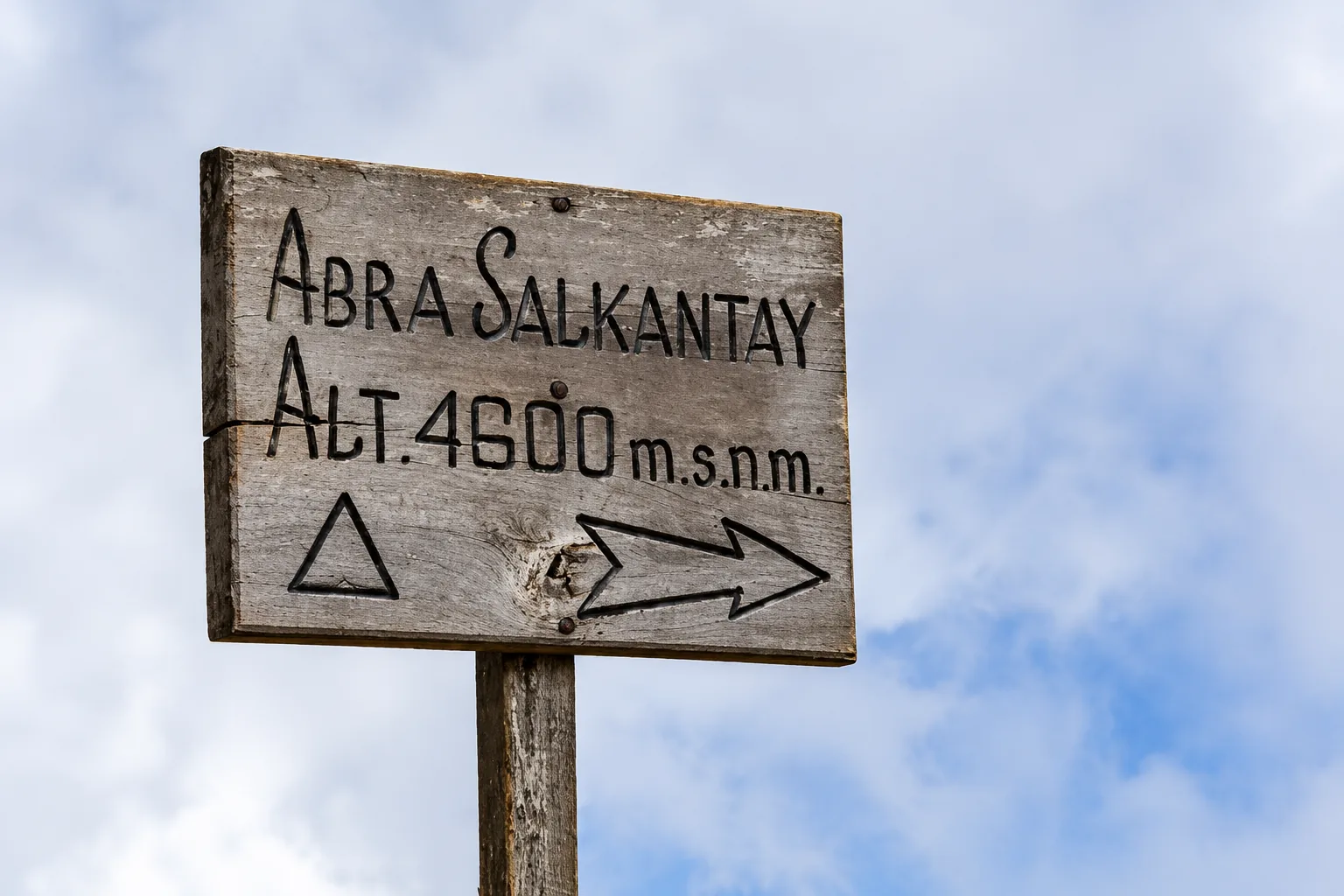
We checked the trail against SRTM satellite elevation data: its highest point reads about 4,620 m. Satellite pixels of 30 m tend to read a few meters low on narrow passes.
So 4,630 m is the most defensible figure, and the 4,600 m on the sign is a rounded value.
Nevado Salkantay, the mountain above the pass
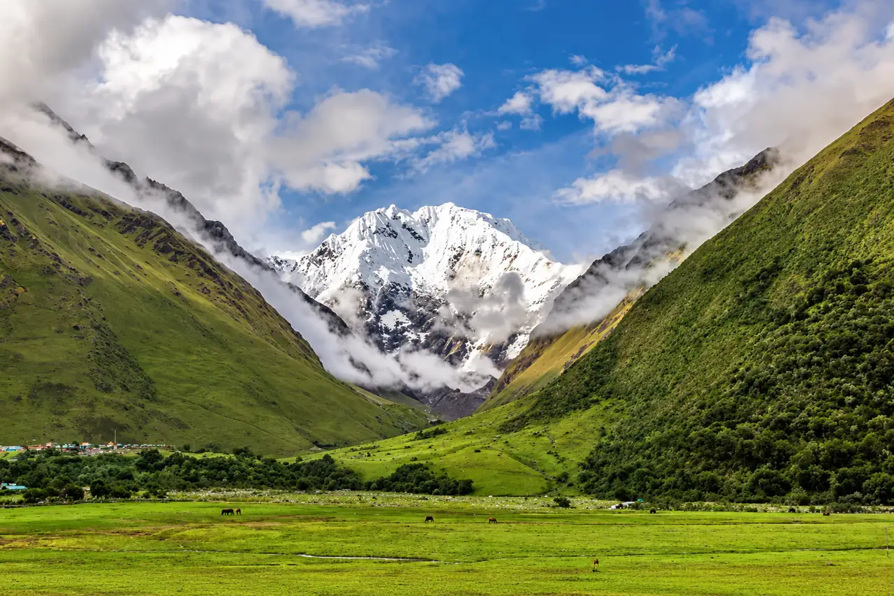
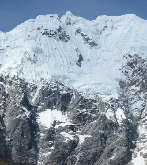
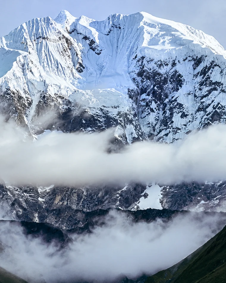
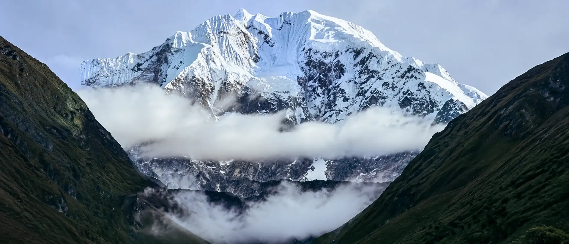
The pass sits at the foot of Nevado Salkantay, 6,271 m (20,574 ft), the highest peak of the Cordillera Vilcabamba. The SERNANP map of the Machu Picchu sanctuary gives 6,264 m. It is the second most prominent mountain in Peru, after Huascarán.
The name comes from the Quechua word sallqa, “wild” or “savage”, which is why it is often called the Savage Mountain. For Andean communities it is an apu, a protective mountain spirit, and the Incas linked it with rain and fertility.
The first ascent came on 5 August 1952. A French and American expedition put six climbers on the summit: Fred Ayres, George Bell, David Michael, Graham Matthews, Claude Kogan and Bernard Pierre. The American Alpine Journal account confirms the date.
How the pass compares with famous peaks
| Peak or pass | Elevation | Salkantay Pass is |
|---|---|---|
| Mount Whitney, California | 4,421 m (14,505 ft) | about 210 m higher |
| Mount Rainier, Washington | 4,392 m (14,410 ft) | about 240 m higher |
| Dead Woman’s Pass, Inca Trail | 4,215 m (13,830 ft) | about 415 m higher |
| Mont Blanc, Alps | 4,806 m (15,770 ft) | about 175 m lower |
| Everest Base Camp, Nepal | 5,364 m (17,600 ft) | about 735 m lower |
| Kilimanjaro, Tanzania | 5,895 m (19,340 ft) | about 1,265 m lower |
In other words, at the pass you stand higher than any summit in the lower 48 United States, on a trail that needs no climbing gear. If you are choosing between the two classic treks, see our Salkantay Trek vs Inca Trail comparison.
Salkantay Trek map: the route from Soraypampa to Machu Picchu
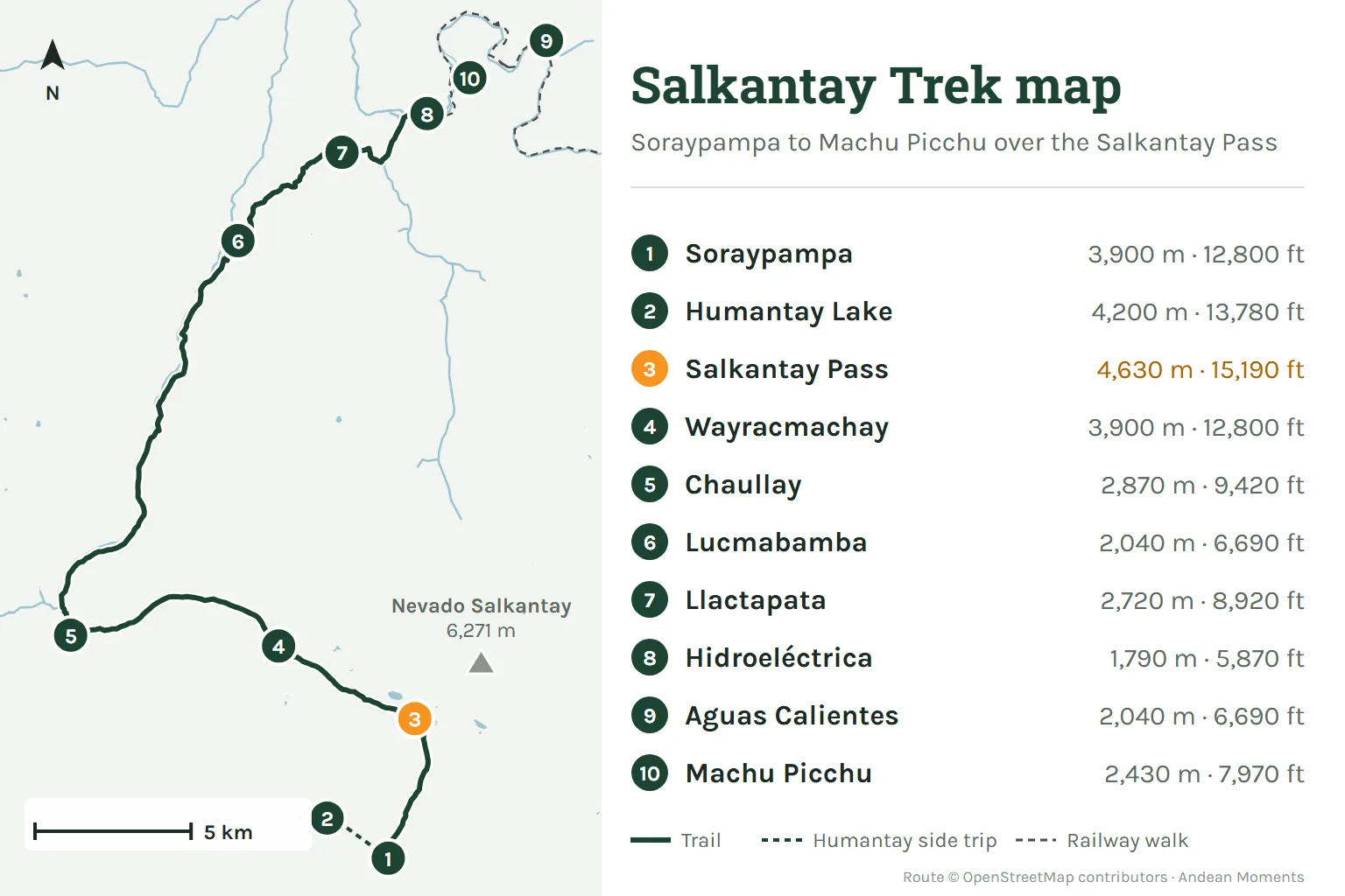
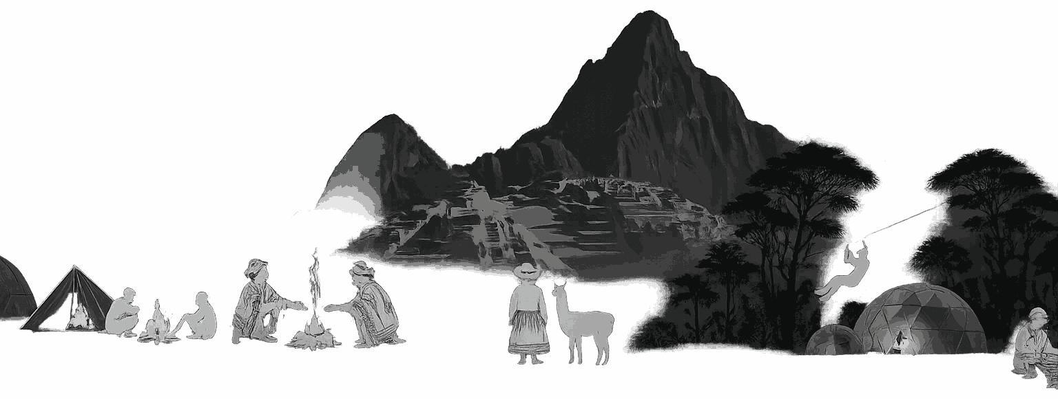
The classic route starts at Soraypampa (3,900 m), where the road from Mollepata ends. It climbs north under the glacier to the pass, drops through Wayracmachay to Chaullay, then follows the valley down to the coffee farms of Lucmabamba.
From Lucmabamba an old Inca path climbs to Llactapata (2,720 m), which faces Machu Picchu across the valley. It then descends to Hidroeléctrica, where a 10 km (6.2 mi) walk beside the railway reaches Aguas Calientes.
The waypoints in order:
- Soraypampa, the trailhead and first camp area
- Humantay Lake, a side trip on day 1
- Salkantaypampa, the meadow under the glacier
- Suyroqocha, the last rest stop before the top
- Salkantay Pass, the highest point
- Wayracmachay, where the descent reaches the valley
- Chaullay and Collpapampa, the start of the cloud forest
- La Playa and Lucmabamba, coffee country
- Llactapata, the Inca site facing Machu Picchu
- Hidroeléctrica and Aguas Calientes, the town below Machu Picchu
Getting to the trailhead
Almost every group now drives from Cusco to Soraypampa, about 120 km (75 mi) through Limatambo and Mollepata. The old walk up from Mollepata is no longer part of the classic trek, and the road reaches Soraypampa normally.
Route status in 2026
Heavy rain caused landslides near Soraypampa, and the Mollepata municipality suspended access from 6 February to 6 March 2026 (RPP). The route has run normally since then. February is the wettest month, so we confirm conditions before every departure.
Ice falls on Nevado Humantay: since July 2026 the glacier above Humantay Lake has dropped ice several times, once after the August earthquake (Andina). Nobody was hurt and the route stayed open; our guides check conditions every morning.
Salkantay Trek elevation profile day by day
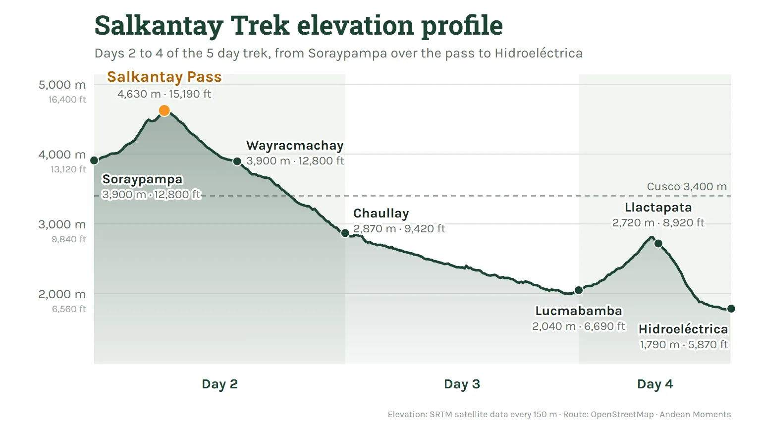
Our profile follows the trail from Soraypampa to Hidroeléctrica, with a satellite elevation reading every 150 m. Only day 2 climbs above 4,000 m, and almost everything after the pass is a long descent into cloud forest.
| Point | Altitude | What you find there |
|---|---|---|
| Cusco | 3,400 m (11,150 ft) | Where you acclimatize |
| Soraypampa | 3,900 m (12,800 ft) | Trailhead and first camps |
| Humantay Lake | 4,200 m (13,780 ft) | Turquoise glacier lake, day 1 |
| Suyroqocha | 4,480 m (14,700 ft) | Last rest stop before the pass |
| Salkantay Pass | 4,630 m (15,190 ft) | Highest point, day 2 |
| Wayracmachay | 3,900 m (12,800 ft) | Lunch stop on day 2 |
| Chaullay | 2,870 m (9,420 ft) | Night 2, cloud forest |
| Lucmabamba | 2,040 m (6,690 ft) | Coffee farms |
| Llactapata | 2,720 m (8,920 ft) | Inca site with a view of Machu Picchu |
| Hidroeléctrica | 1,790 m (5,870 ft) | Lowest point of the route |
| Aguas Calientes | 2,040 m (6,690 ft) | Last night before Machu Picchu |
| Machu Picchu | 2,430 m (7,970 ft) | The Inca city |
On the 5 day trek you sleep at about 3,900 m, then 2,870 m, then 2,040 m twice. That is only one night above 3,000 m on the trail, which is why the trek feels easier after day 2.
Salkantay Trek distance and elevation gain
Our 5 day Salkantay Trek covers about 70 km (43 mi) on foot. The longest days are day 2 and day 4, about 22 km each. These are the figures for our route:
| Day | Distance | Hiking time | Up | Down |
|---|---|---|---|---|
| 1. Soraypampa and Humantay Lake | 6 km (3.7 mi) | 5 h | about 300 m | about 300 m |
| 2. Salkantay Pass to Chaullay | 22 km (13.7 mi) | 9 h | about 730 m | about 1,760 m |
| 3. Chaullay to Lucmabamba | 16 km (9.9 mi) | 6 h | small | about 830 m |
| 4. Llactapata to Aguas Calientes | 22 km (13.7 mi) | 9 h | about 930 m | about 930 m |
| 5. Machu Picchu | about 4 km (2.5 mi) | plus the guided tour | about 400 m of stairs | the same on the way down |
Swipe the table sideways to see more →
Between Soraypampa and Aguas Calientes you climb about 2,000 m (6,560 ft) in total and descend about 3,900 m (12,800 ft). The trek is harder on the knees than on the lungs, so bring trekking poles.
The Salkantay Trek 4 Days crosses the same pass. It drives from Chaullay to Lucmabamba at the end of day 2 and walks Llactapata to Aguas Calientes on day 3, so it is shorter but just as high.
Climbing the Salkantay Pass on day 2
Day 2 starts early. On our 5 day trek the team wakes you at 5:00 a.m. with a cup of coca tea, and you leave after breakfast. The first hour is a gentle walk up the valley to Salkantaypampa, right under the glacier.
The Siete Culebras switchbacks
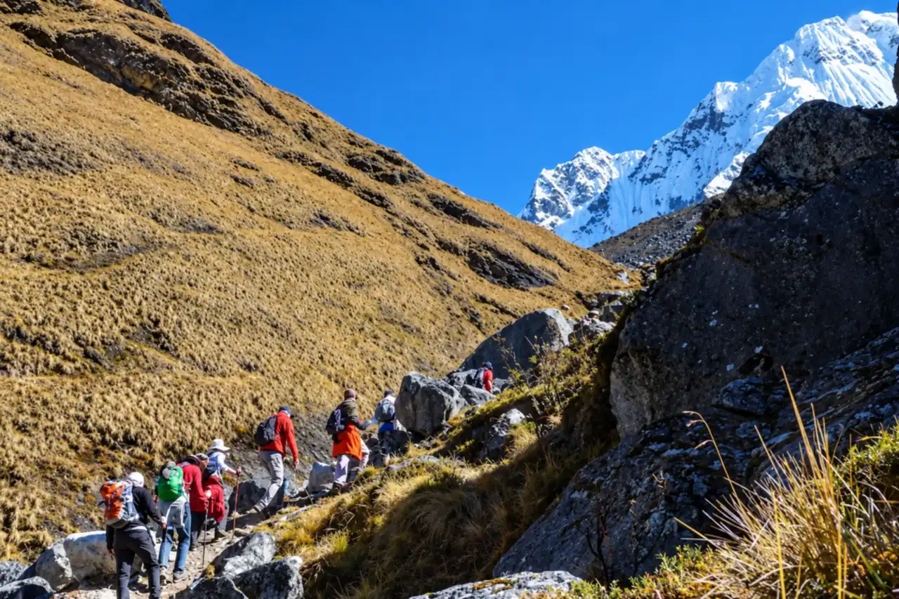
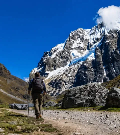
Above Salkantaypampa the trail turns into the Siete Culebras, the “seven snakes”: a set of tight switchbacks and the steepest part of the climb. Short, steady steps work better than speed at this altitude.
Most groups pause at Suyroqocha, about 4,480 m, the last rest stop before the top. From camp to the pass, most groups take 3 to 4 hours.
Riding a horse to the pass
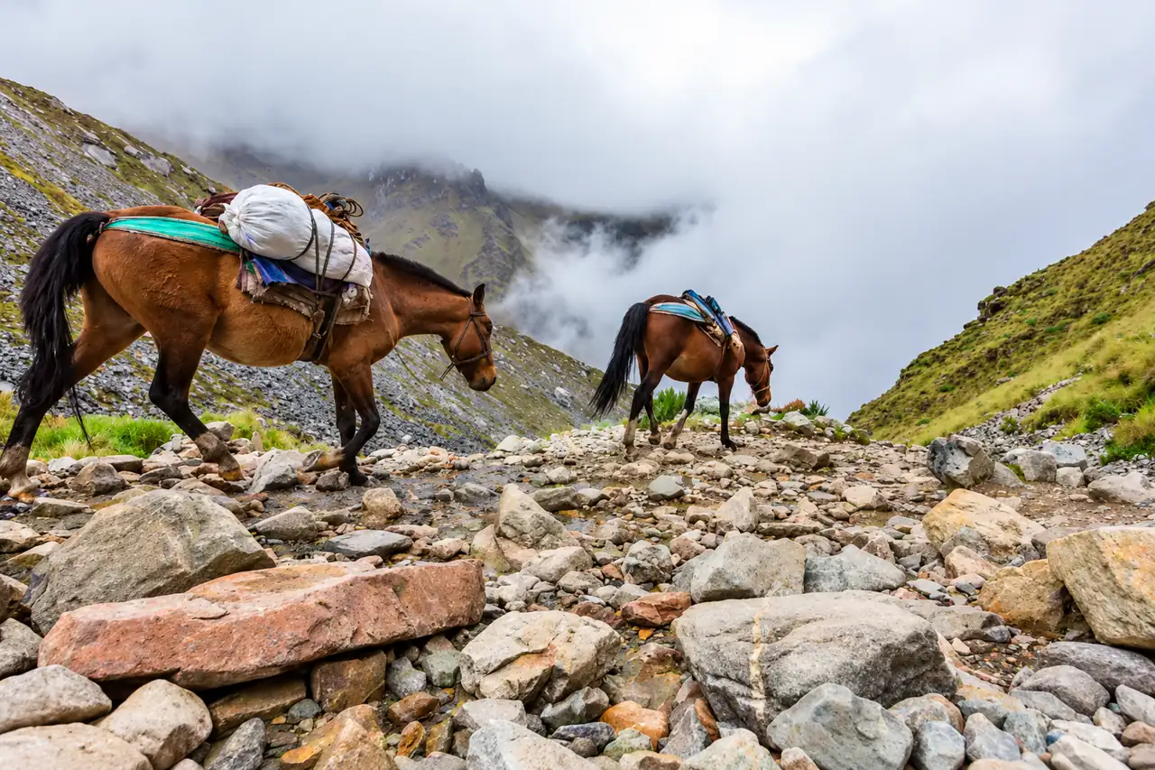
If the altitude hits you hard, you can rent a horse for about $40. It is arranged at the trailhead in the morning, paid in cash, and covers the climb only: everyone walks down from the pass.
The offering at the top
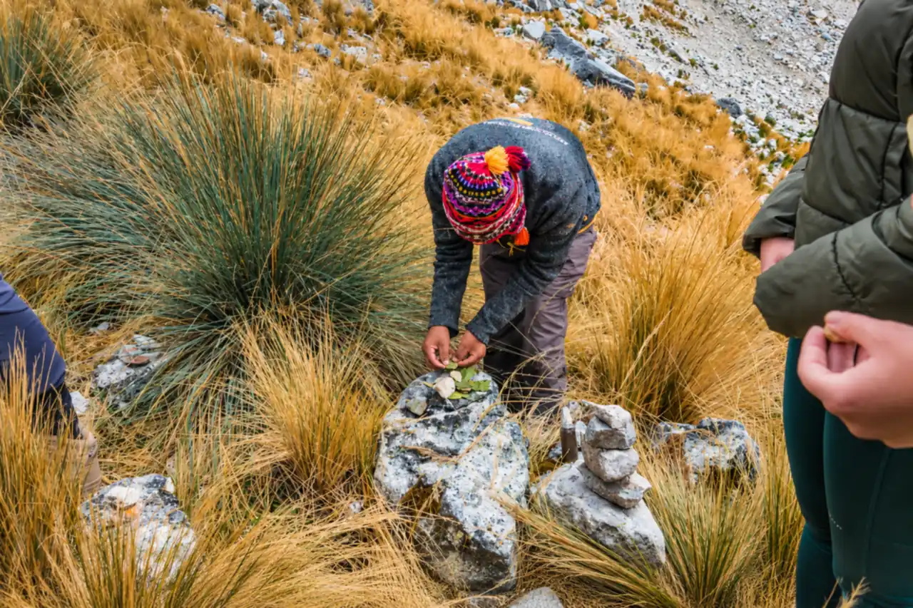
At the pass you will see dozens of apachetas, small stone cairns left by travelers. Our guides make a k’intu: three coca leaves offered to Apu Salkantay and Pachamama, in thanks for a safe crossing. You are welcome to join.
The descent to Chaullay
After the photos, the trail drops over loose rock for about 2 hours to Wayracmachay, where lunch is waiting. In one afternoon you lose about 1,760 m and walk from glacier to cloud forest, with orchids and bamboo by the time you reach camp.
Salkantay Pass weather and temperature
There is no weather station at the pass. The nearest SENAMHI station with long records is Anta Ancachuro, at 3,324 m. Its averages for 1991 to 2020 show the pattern clearly:
| Season at Anta | Daytime high | Night low | Rain per month |
|---|---|---|---|
| Dry: May to August | about 21 °C (70 °F) | 1 to 4 °C below zero (25 to 30 °F) | under 10 mm |
| Shoulder: April, September, October | about 21 °C (70 °F) | 1 to 3 °C (33 to 38 °F) | 20 to 73 mm |
| Rainy: November to March | about 20 °C (68 °F) | 4 to 6 °C (40 to 43 °F) | 99 to 192 mm |
Swipe the table sideways to see more →
The pass is about 1,300 m higher than Anta, and the air cools about 6.5 °C for every 1,000 m you climb. At the top that means daytime highs of roughly 11 to 13 °C (52 to 55 °F).
On dry season nights it drops to about 10 to 13 °C below zero (9 to 14 °F). This is our estimate, not an official reading.
You cross in the morning, usually in sun from May to September, but wind makes it feel much colder. Snow can fall in any month, most often from December to March. At our first camp, nights drop to about 0 °C (32 °F) all year.
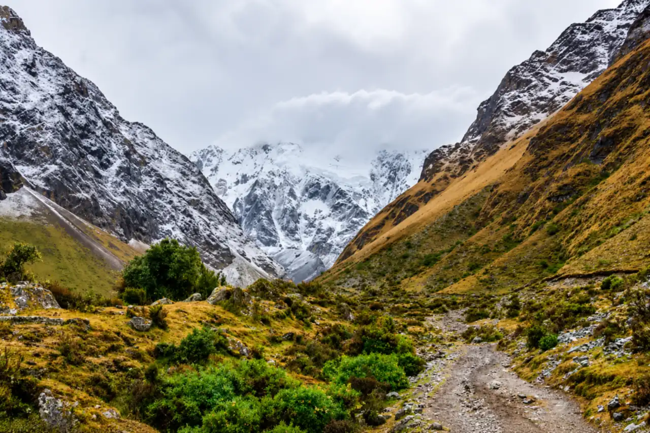
The driest months, May to September, are the best time to cross. February is the wettest month and the one most likely to bring landslides on the road to Soraypampa.
Altitude at 4,630 m: how to prepare
At the pass each breath holds about 56% of the oxygen it holds at sea level. Altitude sickness is common even in Cusco: studies found it in 39% to 48.5% of visitors (Journal of Travel Medicine).
The CDC Yellow Book advises raising your sleeping altitude by no more than 500 m a day above 3,000 m. The Salkantay profile fits that rule if you spend at least 2 full days in Cusco or the Sacred Valley first.
Drink plenty of water, skip alcohol the first days and walk at your own pace. Ask your doctor about acetazolamide before you travel. A headache, nausea or dizziness that gets worse is a reason to tell your guide at once; our guides carry emergency oxygen.
For the full picture on fitness and altitude sickness, read our Salkantay Trek difficulty guide.
Cross the Salkantay Pass with a local team
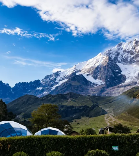
Our Salkantay Trek 5 Days and Salkantay Trek 4 Days cross the pass on day 2, with domes, a chef, mules for your gear and the return to Cusco included. Compare every route on our Salkantay Trek page, or read the complete Salkantay Trek guide.
Salkantay Pass: frequently asked questions
How high is the Salkantay Pass?
The Salkantay Pass is 4,630 m (15,190 ft) on most maps, and the sign at the top reads 4,600 m. It is the highest point of the Salkantay Trek.
How long does it take to climb the Salkantay Pass?
Most groups take 3 to 4 hours from the Soraypampa camps, about 6 km with 730 m of ascent. The whole of day 2, including the descent to Chaullay, is about 9 hours of hiking.
Is there snow at the Salkantay Pass?
Snow can fall in any month, most often from December to March. In the dry season the trail is usually clear, but the morning is cold and windy.
Can you ride a horse to the Salkantay Pass?
Yes. A horse for the climb costs about $40, paid in cash at the trailhead. It only covers the way up; everyone walks down.
Can you visit the Salkantay Pass on a day trip?
Some agencies run a very long day trip from Cusco, leaving around 4 a.m. It means going from 3,400 m to 4,630 m and back in one day, so we recommend the 4 or 5 day trek, which sleeps a night at Soraypampa first.
Do you need a permit or a guide for the Salkantay Pass?
No permit or fee is needed for the pass, and no law requires a guide. The only fee on the way is Humantay Lake: S/20 for foreigners and S/10 for Peruvians, paid in cash.
Is the Salkantay Pass higher than the Inca Trail?
Yes. At 4,630 m it is about 415 m higher than Dead Woman’s Pass (4,215 m), the highest point of the Inca Trail.